Planning and Development contains links to Town policy documents like the Official Plan and Zoning By-law and information on new development proposals in the Town of Halton Hills. It also contains materials on how to submit a new application. Also explore the links to information on Heritage properties, policy projects, application fees and more.
Development Applications
Approved Development Applications |
Comprehensive List of Applications |
|
This page lists all Active Development Applications from the time they are filed with the Town until a decision has been made about them, and any conditions of approval are completed. |
Major Development Applications |
Development Application Information

Development Application Forms |
|
Our Development Review team is made up of professional land-use planners and other staff members who's goal is to process all applications in a timely manner. Visit the Development Application Forms webpage to learn more. |
Development Application Fees |
|
The Planning and Development Department Fees include;
Visit the Development Application Fees webpage to learn more. |
DC, CBC and Parkland Dedication |
|
Through these provisions, companies building in our borders help the Town to pay for additional infrastructure to accommodate growth and help build a complete community. Visit the Development Charges webpage to learn more about the DC/CBC rates and Parkland Dedications. |
Ontario Land Tribunal |
|
A provincially-appointed agency, the Ontario Land Tribunal (OLT) hears appeals related to land disputes and Planning Act applications in Ontario. This may include applications for approval of;
Visit the Ontario Land Tribunal webpage to learn more. |
Municipal Planning Data Reporting |
|
As per the Planning Act, the Town of Halton Hills is required to report on planning application data to the Ministry of Municipal Affairs and Housing on a quarterly basis in accordance with Ontario Regulation 73/23. Visit our Municipal Planning Data Reporting webpage to learn more. |
Site Alterations |
|
The Town's Site Alteration By-Law was enacted to control;
Visit the Site Alterations webpage to learn more. |
Subdivisions and Site Plans |
|
The Town Planing and Development department provides;
Visit the Subdivisions and Site Plans webpage to learn more. |
Active Planning Policy Projects
Georgetown GO Station Area/Mill Street Corridor Secondary Plan |
|
A Secondary Plan Review is required for the Georgetown GO Station Area/Mill Street Corridor. The original Plan was adopted in 2010 through Official Plan Amendment 7 (OPA 7). Key components of this Plan included identifying and planning for strategic locations for redevelopment and intensification, and the maintenance and enhancement of existing neighbourhoods. Visit the Let'sTalk project page to learn more. |
Premier Gateway Phase 2B Secondary Plan |
|
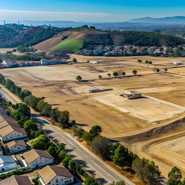
The Phase 2B area is approximately 257 hectares and is located north of Steeles Avenue, between Eighth Line and Winston Churchill Boulevard, in Halton Hills. The purpose of the project is to develop a comprehensive Secondary Plan with appropriate land use designations and policies. A Scoped Subwatershed Study and a series of other technical studies will be prepared to better understand the opportunities and constraints to development. Visit the Let'sTalk project page to learn more. |
Southeast Georgetown Secondary Plan |
|
The identified Southeast Georgetown lands and study area is approximately 53 hectares (131 acres) in size and fronts onto No. 10 Sideroad and the area west of Winston Churchill Blvd and east of Tenth Line. Once completed, the Southeast Georgetown Secondary Plan will identify the most appropriate mix of land uses in the study area and incorporate best practices for community development while establishing boundaries and targets for the new community and population, including housing units and affordable housing and employment capacity targets. Visit the Let'sTalk project page to learn more. |
Stewarttown Secondary Plan |
|
The Town is preparing a Secondary Plan for the (former) Hamlet of Stewarttown to establish a Land Use Plan for the area and surrounding expansion lands while focusing on preserving the unique character of the community. Once completed, the Stewarttown Secondary Plan will identify the most appropriate land use plan for the area and incorporate best practices for community development while establishing housing density targets for the new community. Visit the Let'sTalk project page to learn more. |

Heritage Properties
Heritage Planning |
|
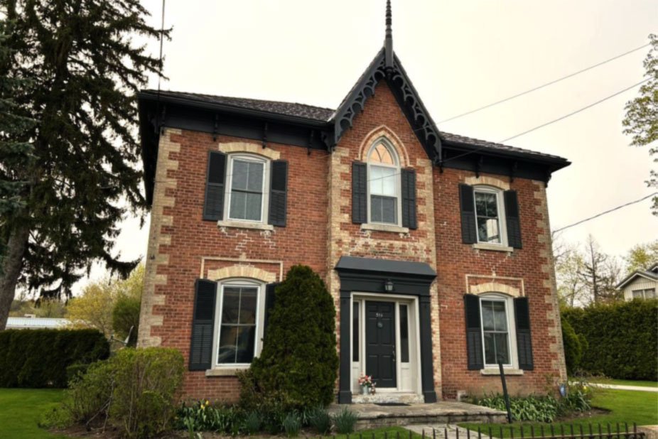
Do you have questions about a heritage property? Review the links below to learn more. |
Heritage Register |
|
View the Town's Heritage List for a complete list of Registered and Designated properties. |


