![]()
![]()
MapLinks
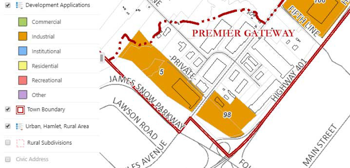
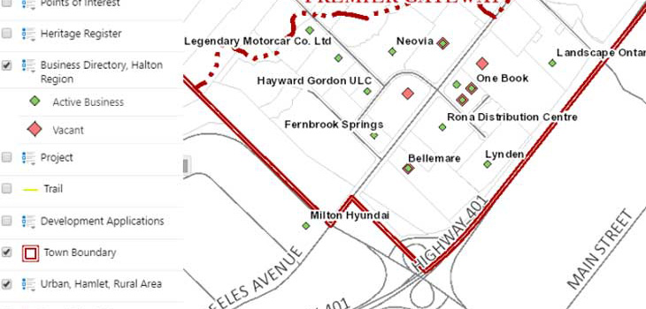
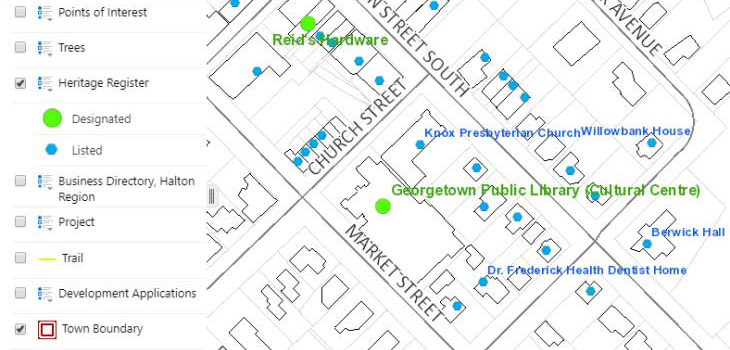
The interactive mapping application, MapLinks, provides access to map data layers such as Addressing, Streets, Parcel and Municipal Boundaries, Parks, Elevation Contours, and multiple years of Aerial Imagery, among others.
Tools are available within this application to search and query, turn data layers on/off, add text and graphics, measure distances and areas, plot coordinates and create printable map products.
MapLinks can be used on any number of devices, including smart phones, tablets, as well as traditional desktops.
MapLinks conforms to WCAG 2.0 Level AA, provides enhanced alternative access to end-users, through full keyboard control, screen reader friendliness and other features to make mapping technology more accessible. MapLinks can be used as an alternative format for accessing the content in the static Adobe .pdf maps below, as the technology to convert these to AODA compliant documents is not readily available, nor it is technically feasible to do so.
Maps and more
Below are a number of links to Adobe PDF maps, interactive mapping apps, and web pages with mapping content grouped by theme. You are welcome to print these maps yourself, take to a local print/copy centre for printing, or refer to the GIS Brochure for the fees associated with having the Town print.
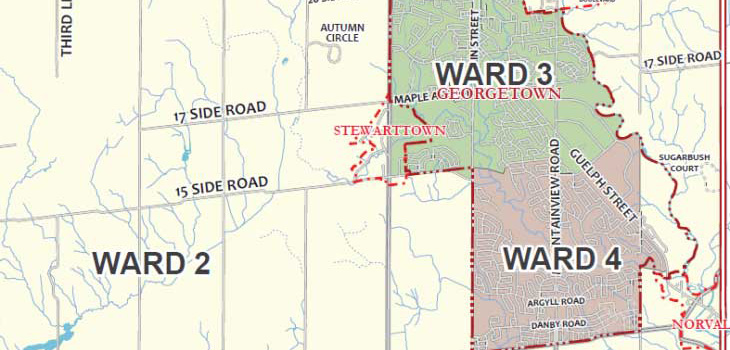
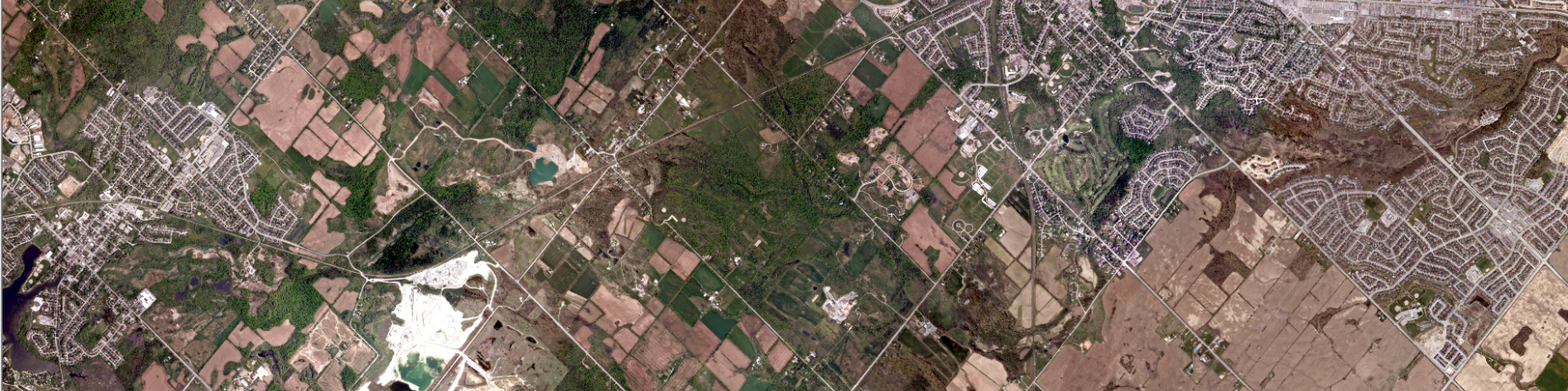
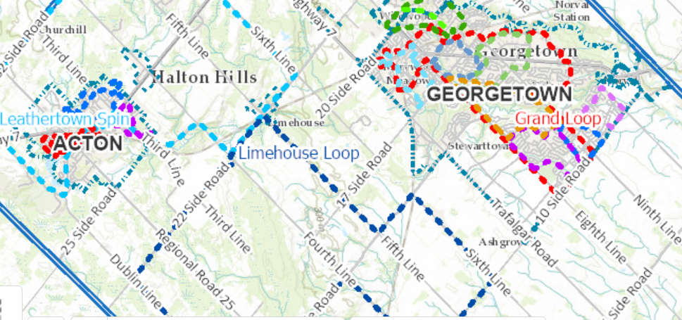
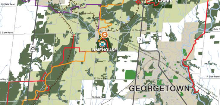
Aerial
- Acton: 8.5” x 11” or 36” x 48”
- Georgetown: 8.5” x 11” or 36” x 48”
- Rural: 8.5” x 11” or 36” x 48”
- Interactive Map: Aerial
Civic Address
- Acton: 8.5” x 11” or 36” x 48”
- Georgetown: 8.5” x 11” or 36” x 48”
- Rural: 8.5” x 11” or 36” x 48”
Civic and Regional Maps
- Town Hall from Highway 401:
8.5" x 11" - Halton Hills within Halton Region: 8.5" x 11"
- Halton Hills within the Greater Toronto Area: 8.5" x 11"
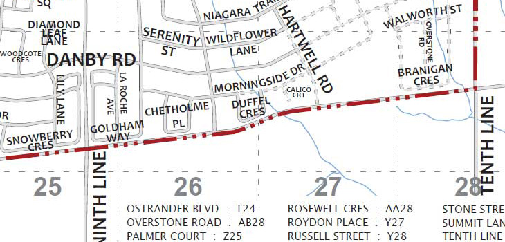
Street Index
- Acton: 8.5” x 11”
- Georgetown: 8.5” x 11”
- Georgetown North: 8.5” x 11”
- Georgetown South: 8.5” x 11”
- Rural: 8.5” x 11”